Thursday, March 27, 2014

Nojoqui Falls

 
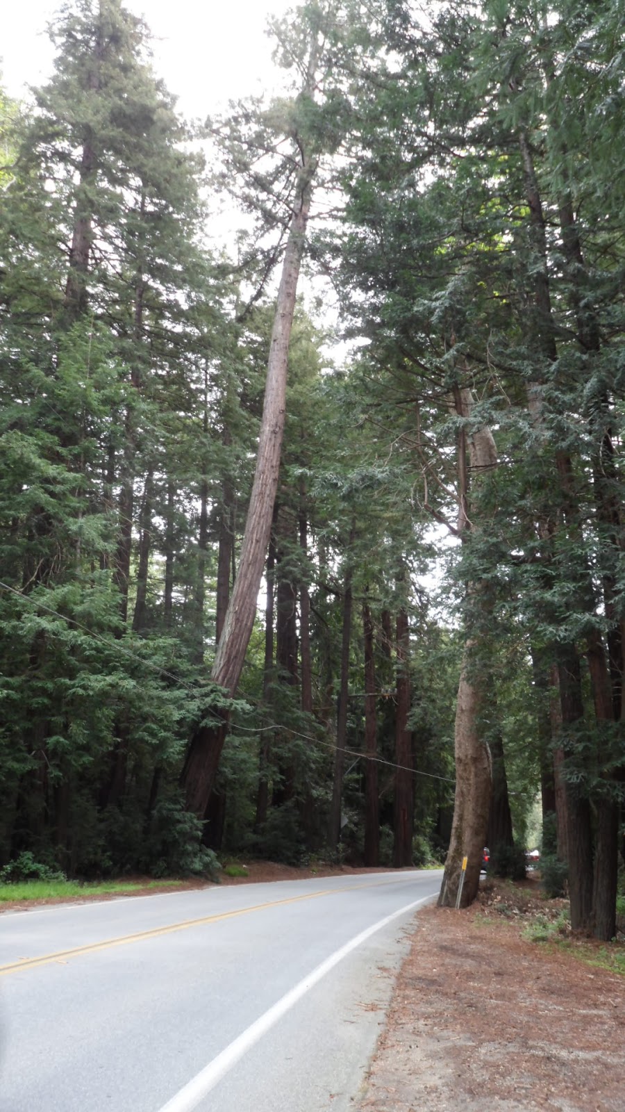
Only a few miles south of Solvang, Nojoqui Falls Park is a Santa Barbara County park that owes its namesake to a former Chumash settlement in the area. Today, the park contains all of the amenities one would expect to find in any modern park--grills, picnic benches, a playground, and fields--with one added bonus: a 160 foot waterfall only a short hike away.

Mountain Lion warning!
The trailhead begins at the southernmost tip of the parking lot. The openness of the park is quickly left behind for an increasingly dense forest consisting of primarily oak and big leaf maple trees.


Trees frequently interrupt the trail and their roots break up the monotony of the ground.


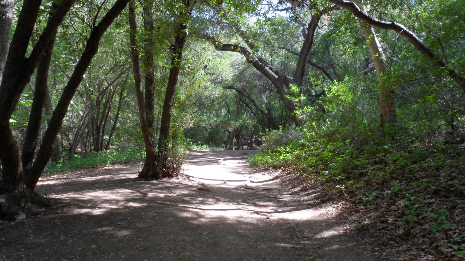
The trees bend and lean, trying to escape the shadows and find the sunlight.


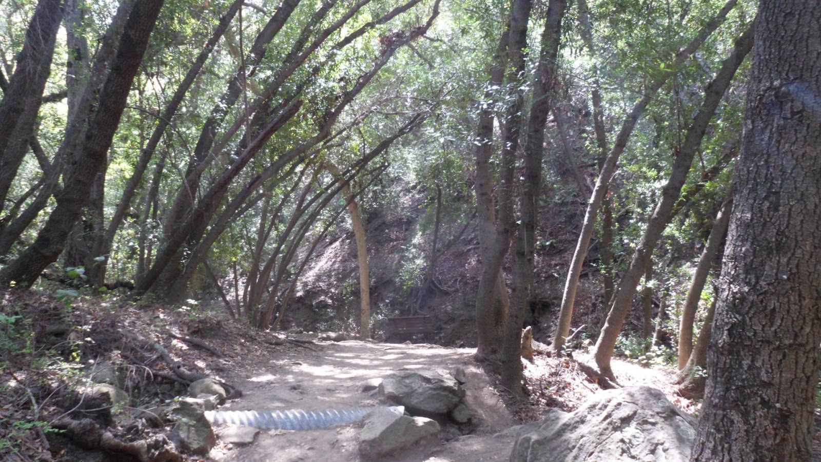
The path crosses a bridge and follows a creek bank, and, in little time, opens up to the falls.


Even in a portrait orientation, it's difficult to capture the height of the falls in just one shot. The water flows year-round, however, during this viewing, the flow was rather limited.

Because of the park's natural beauty, easy access from the 101, and central location, it's also a popular venue for classic car gatherings. Every March, for example, vintage Volkswagens descend on the park for an informal show.


A nearby landmark that also garners a great deal of attention is the Peace Barn at Classic Organic Farms. Located on Old Coast Hwy between the 101 and Alisal Rd, it's difficult to miss when arriving or leaving from the park.


Nojoqui Falls Park is a great location for a picnic or just to relax in the outdoors. The trek to the falls is short and extremely easy, yet still very rewarding.


Monday, March 10, 2014

Hwy 1 | Big Sur


Roughly described as the region between San Simeon and Carmel, Big Sur has inspired artists, writers, and musicians alike with its isolation and natural beauty. The gateway to Big Sur is Hwy 1, and this stretch of highway is arguably the most scenic drive in the country.

The most striking feature of the drive is the dramatic contrast between the Santa Lucia Mountains and the ocean below.


The highway is carved right out of the mountain range and is characterized by switchbacks, blind turns, and rapidly changing elevation. There is a consistent--but not overwhelming--amount of traffic, made up mostly of rental cars. There's also frequent cyclists and the occasional hitchhiker.


These conditions make for slow driving, but provide ample time to take in the surroundings. There are turnouts at seemingly regular intervals, so there is plenty of opportunity to stop and admire the surroundings.

An interesting engineering feature that stands out on the highway is the Rain Rocks Shed at Pitkins Curve.


This short length of the highway was deconstructed and rebuilt to better accommodate the frequent falling rocks that often forced closure of the roadway. Now, (in theory) boulders will merely roll off the rock shed or under the bridge and into the ocean.

A few small settlements exist at various points along the drive, generally consisting of little more than an inn, a general store, and occasionally a gas station.


The largest is in the Big Sur River valley. Here, the highway breaks inland for a few short miles and the vegetation quickly changes.


At this point, the highway cuts through a redwood forest.


Nearing the Monterey Peninsula, the elevation begins to stabilize and the scenery becomes less dramatic. Arriving in Carmel marks the official departure from Big Sur. 

Though the distance from San Simeon to Carmel is only about 90 miles, it's a journey that's likely to take around three hours (one way) with photo ops. A more free-flowing route back is to take State Route 68 east to the 101.

Driving Hwy 1 is the easiest way to experience the beauty that is Big Sur. But if that's not enough, there's no shortage of campgrounds and a number of state parks to explore within the region.